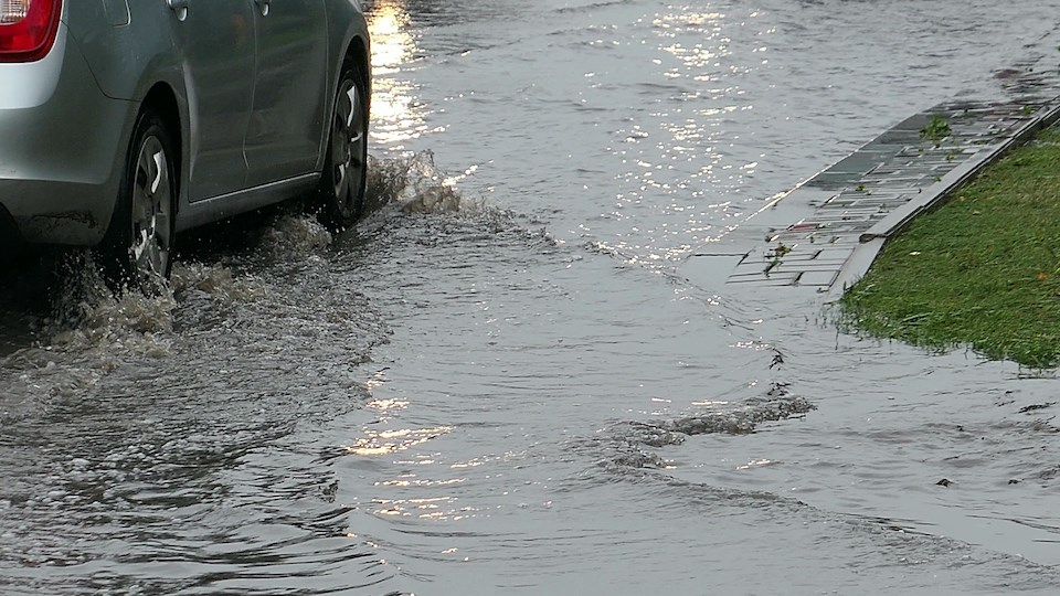
Metro Vancouverites should brace for a very wet Remembrance Day long weekend.
Environment Canada meteorologist Armel Castellan tells V.I.A. a "parade of storms" will drench the Lower Mainland with precipitation starting Friday, Nov. 8 night and continuing through mid-next week.
The first storm in the cycle is the remnants of an atmospheric river affecting the north coast. He explains that it could bring 15 to 25 mm of rainfall to areas of the North Shore, with precipitation amounts of four to five millimetres an hour.
While the rain should wane by Saturday night, a second storm should bring moisture to B.C.'s south coast starting midday Sunday.
"It has the potential to have more rain just because it is more robust when it reaches the coast," he notes, adding that rates of seven to 10 mm of rain an hour are expected, particularly in places at higher elevations.
The storm is technically an atmospheric river but isn't expected to produce the same amounts as the historically wet provincial election day. Metro Vancouverites captured images and videos of extensive flooding and damage on Oct. 19, including extensive power outages and road closures.
Castellan says locals may expect to see rainfall amounts over 100 mm over 24 hours but the rain is expected to taper off on Monday. The storm's rain would need to continue for 48 hours or more or have significantly higher hourly rates to reach the previous amount.
Some areas of the Lower Mainland received over 200 mm of rain during the wet weather event. However, the storm's narrow track was directly entirely over Metro Vancouver.
Metro �鶹��ýӳ��weather forecast includes a parade of storms
Atmospheric rivers are "narrow bands of heavy precipitation" that track north and south, meaning they only have to change course slightly and could miss a region entirely.
"They are about 100 to 200 km in width compared to storms that stretch across half or even two-thirds of the province," Castellan remarks.
A third storm will also impact the Lower Mainland starting Tuesday and early Wednesday, although rainfall amounts are difficult to gauge.
Castellan says there is a potential for 15 mm to upwards of 90 mm depending on exactly where the atmospheric river is directed. If it hits north, Metro �鶹��ýӳ��could see over 100 mm. A southern tracking storm may result in significantly lower amounts.
If the third storm produces more rainfall, there is a potential for more extensive damage. Since it is the third event in a "proper parade of storms," rain will fall on fully saturated soil.
"You're dealing with the straw that broke the camel's back," says Castellan, clarifying that there is an increased potential for mudslides and other disasters due to these conditions.
The event has some subtropical origins but is moving quickly, meaning it isn't likely to park over the region and drench it over several days. Still, the storms will follow each other a day apart without providing recovery time between systems.
Travellers headed on B.C. highways should also check for Environment Canada's updates. The Sea to Sky Highway will receive a thicker plume of rainfall starting overnight Friday and the Kootenay Pass will see snowfall early Saturday.
Stay up-to-date with hyperlocal forecasts across 50 neighbourhoods in the Lower Mainland with V.I.A.'s Weatherhood.


