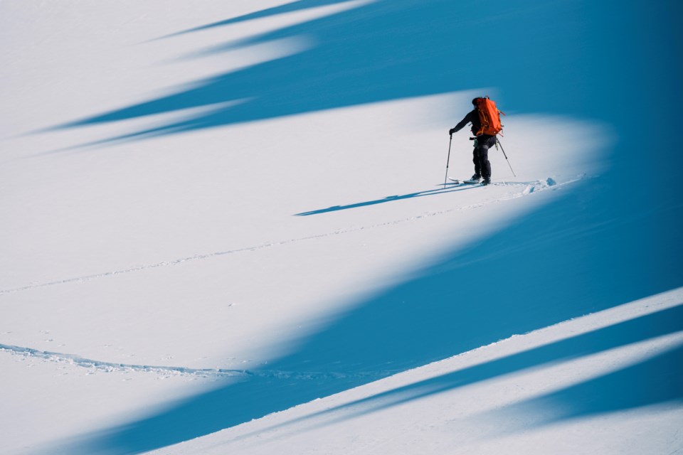
Current conditions in the alpine are trickier than they may appear, which has recommending Sea to Sky recreationists keep their outings conservative.
"Over the past week, we've had these really atypically cold temperatures and winds from varying directions," said Avalanche Canada's Zoe Ryan, adding that there have been fairly strong northerly winds, as well as the more recent southwest winds.
"That's created really variable surfaces and exposed areas in the alpine and wind slabs and a variety of different aspects. So you might see loading in more atypical areas compared to your more typical southwesterly flow. Skiers can expect to find wind slabs in kind of unusual areas, [compared with] what they're used to seeing from those more northerly winds."
A wind slab is a layer of snow that forms when wind deposits snow onto leeward terrain. Wind slabs are often smooth and rounded and sometimes sound hollow, according to Avalanche.org.
(.)
Heading into the weekend, new snow is expected overnight tonight, accompanied by northwest winds.
"So we might see some new wind slabs developing overnight tonight," Ryan said, when reached Wednesday afternoon.
"We'll have high pressure reestablishing for both Thursday and Friday. So Thursday, Friday are looking pretty clear and cold. And then, on Saturday, we're going to have a more significant storm coming in that's going to persist throughout the weekend. And during that storm, the avalanche hazard will go up. And we're expecting to see new storm slabs, and we're monitoring a persistent slab problem in the snowpack. People will want to be making more conservative terrain choices and managing their exposure to overhead hazards as that storm comes in."
She said the incoming storm is going to impact south coast regions and inland as well.
She noted that significant new snow is expected with the weekend storm and that will be accompanied by relatively strong winds.
"There's a persistent weak layer in the snowpack that has produced really sporadic results within the region. To manage that problem, people are going to want to avoid thick to thin snowpack areas. So that means avoiding shallow rocky start zones, steep convexities anywhere — when the snowpack goes from an area that's really thin to an area that's quite thick; and they also want to be managing their exposure. That means having good travel habits: skiing slopes one at a time and only exposing one person to the avalanche hazard at a time."
She noted that it is hard to predict where an avalanche is going to happen with current conditions.
"And for that reason, people need to be making more conservative terrain decisions and travelling with that persistent slab problem in mind."
Ryan added that if folks endure an avalanche or witness one, they should report it to the
"We really appreciate when people are transparent about the accidents they have in the mountains, and they're able to share that so that people can learn from it," she said.
"But what people can do in the field — it is really important that they have the proper gear, they understand the forecast, and they understand how to use that gear, and are well trained to be in the backcountry. So it really boils down to taking an avalanche course, being well versed in the current conditions and understanding what kind of terrain and what kind of hazard they need to be avoiding in their day."
With the, folks need to keep that top of mind as well, Ryan said.
"If anything does go wrong, right in the backcountry right now, it's really cold, and that cold weather adds a layer of complexity to any kind of incident you might have out there. So, planning short and manageable objectives that keep you pretty close to home is definitely key right now."
There's a lot of helpful information on the .


