It's not hard to see why Windy Joe Mountain is an attractive destination.
First of all, it's in British Columbia's beloved and, therefore, lies among the northernmost peaks of the . Secondly, its summit is home to an intact fire lookout, complete with an old-school fire finder, and boasts views in all directions. Thirdly, the old road to the top welcomes use in all seasons.
Plus, for those of us with long-distance hiking dreams, a trip to Windy Joe takes in the final kilometres trodden by backpackers on the Mexico-to-Canada .
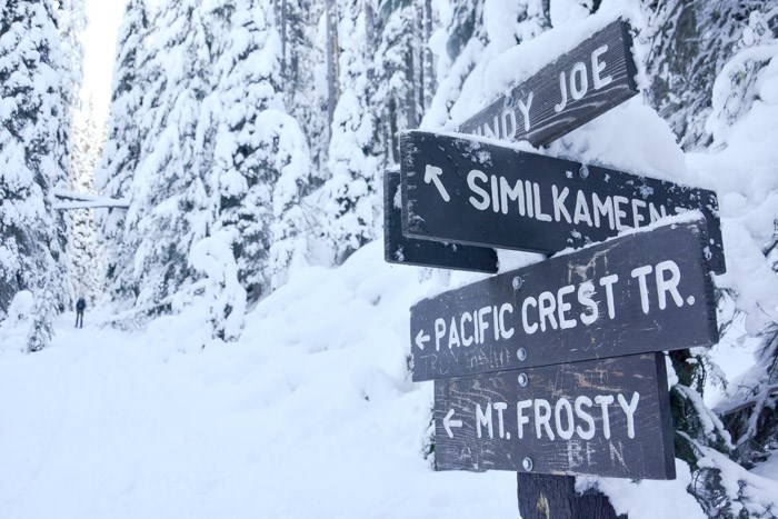
 Windy Joe-Similkameen trail junction. Photo: Stephen Hui.
For those reasons, I choose Windy Joe to be my first hike of 2016. On a sunny day in early January, with a forecasted high of -13 degrees Celsius, we arrived at the trailhead on Gibson Pass Road (via the Trans-Canada and Crowsnest highways), and strapped on our snowshoes.
The hike begins on the more or less horizontal Similkameen Trail. After two kilometres, you go right on the and start gaining altitude. At 5.5 kilometres, the trail forks and you head left for the 1,825-metre summit. (Right leads to the PCT and Frosty Mountain.)
The eight-kilometre marker is nailed to the old fire lookout tower, a two-storey hut last used for its original purpose in 1965. On the second floor, signs help visitors identify the Parks, jagged Castle Peak, Frosty Mountain, and other prominences.
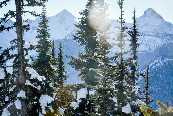
 Mount Winthrop from Windy Joe Mountain. Photo: Stephen Hui.
Horseback riders, , and ski tourers also use the Windy Joe Trail. According to B.C. Parks, the round trip covers 16 kilometres and rises 525 metres. On snowshoes, the hike took three hours up, six hours return.
Established in 1941, Manning Provincial Park is an almost-three-hour drive from Vancouver. It lies east of (you know, ) in the territories of the Okanagan and peoples.


