| WHEN THE WEATHER IS GREAT, there's nothing like getting up into our local mountains to enjoy fresh air, sunshine and nature. This week, we take you to a popular urban hiking destination located in the poshest neighbourhood in town.PLACE: Brothers Creek Loop ()LOCATION: West Vancouver, B.C. |
The hiking trail, which is comprised of portions of the , is a juxtaposition of nature set against the backdrop of one of Canada's most opulent neighbourhoods.
Driving through the British Properties on my way to the trail head revealed insanely large mansions, too many expensive convertibles to count and spectacular views. East Â鶹´«Ã½Ó³»seems oh so far away as you look out over English Bay from high atop a West Â鶹´«Ã½Ó³»perch. But despite the wealth of modern day West Vancouver, there is a history of hard labour and grunt work from the original founders who built the community.
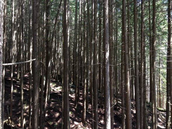
The hiking loop is located on land owned by British Pacific Properties Ltd., but they allow hikers to enter at their own risk. It begins along an old fire road that winds through re-forested logging areas and passes what remains of an old 1900s saw mill. Logging first began in this area in the 1870's with "axmen" and teams of oxen. Â This eventually turned into a logging railroad using specially-designed steam engines, and then diesel trucks by mid-century.
The highlight of this section of the trail is the Candelabra Fir - one of the few old growth trees left. The stag towers 60m above the ground; out-shining its younger second-growth family members.
As Brothers Creek Loop continues, the terrain transitions into tighter trails through lush, temperate rain forest; criss-crossing the creek twice and passing several small waterfalls.
The entire loop is about 7 kilometers and took us approximately 2.5 hours from beginning to end; although you could extend the journey by connecting to one of the other trails that intersect Brothers Creek, like the .
Because of the vast network of trails in this area, it's a good idea to check out the  for detailed information on finding the trail head, and navigating the loop.
View in a larger map


