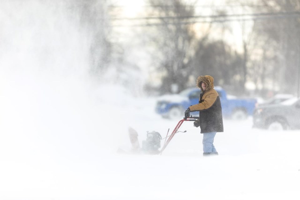
Wintry weather sent flurries swirling across parts of Ontario on Sunday, capping multiple days of gusty winds and heavy precipitation for several regions slammed by intense bursts of snow.
Multiple snow squall warnings and weather advisories continued for parts of southern Ontario and Sault Ste. Marie a day after powerful winds and flurries caused whiteout conditions, icy roads and hazardous travel in large sections of the province.
Conditions were especially intense in Wiarton and east towards Owen Sound, said Environment Canada meteorologist David Rodgers, adding that another heavy band ran northeast of Barrie across Lake Simcoe.
"Amounts are still pretty big," Rodgers said of continuing snow Sunday afternoon.
"In some of the (environment) stations that are under the heavier snowfall amounts, we're seeing rates of five to eight centimetres per hour," he said. "Wiarton has received something like 47 centimetres so far today."
Wiarton had just three centimetres of snow on the ground Wednesday, but several days of snow starting Thursday evening pushed that tally to 105 centimetres by mid-afternoon Sunday, Rodgers said.
With the wind direction expected to shift to the southwest later in the evening, Rodgers said the air should warm and result in weaker snow squalls.
Earlier in the day, Environment Canada warned of reduced visibility due to blowing snow, with the Ontario Provincial Police's highway safety division reporting multiple calls for collisions and vehicles in ditches due to the storms.
There were temporary partial road closures in several regions including near Deseronto, Oro-Medonte and Wasaga Beach.
The weather agency also issued warnings for regions including Barrie, Peterborough, Muskoka, Grey-Bruce and Waterloo, forecasting as much as 50 centimetres to fall in some spots by Sunday night.
Niagara Region bore the brunt on Saturday as the squall that slammed into Buffalo, N.Y., pushed into the northern part of the area, bringing very localized but intense snowfalls.
Rodgers said the longevity of this weekend's cold southwest flow made for a unique winter blast in Buffalo, which more typically sees 10 to 15 centimetres of snow fall over 12 hours.
"It's not uncommon for us in southern Ontario to see three days of cold northwest flow and the typical snow belts would get their lake effect snow then, but for Buffalo to get three days of lake effect snow — (and) Kingston and these areas, too — that's unusual. That doesn't happen every year."
Rodgers said a reprieve is in store. He forecast temperatures above zero in coming days.
"We're not going to see snow squalls like this for the next week or so."
This report by The Canadian Press was first published Nov. 20, 2022.
The Canadian Press


