HALIFAX — A Canadian forecaster says a revised outlook predicting more storms than average in the Atlantic Ocean this hurricane season increases the chance of a significant storm hitting Eastern Canada.
Chris Fogarty, who heads the Canadian Hurricane Centre in Dartmouth, N.S., said the primary reason for the new estimate this week from forecasters in the United States is higher than normal ocean temperatures, which help fuel hurricanes.
“A possibility of more storms than normal as we go into the peak of the hurricane season also increases the possibility that one of those storms will make it up to our neck of the woods in Eastern Canada,” Fogarty said in an interview Friday.
The U.S. National Oceanic and Atmospheric Administration said Thursday that rising ocean temperatures and the slow arrival of the calming effects of El Nino have doubled the chances of an above-normal hurricane season.
The agency said water temperatures between the western tip of Africa and the Caribbean, which is the main storm development region, are 1.2 degrees Celsius above normal and are at their warmest since records began in 1950.
“If we get any storms moving up into our region, they may maintain their intensity longer than they would normally due to the warmer ocean temperatures," Fogarty said.
The 2023 hurricane season officially runs from June 1 to Nov. 30.
U.S. forecasters say there could be 14 to 21 named storms — an increase from the 12 to 17 predicted in May — and they say between six and 11 of them will become hurricanes. Seven hurricanes is considered normal.
Fogarty says the U.S. estimate is a statistical outlook, and forecasters can’t offer specific information on the nature of storms until they develop.
“Over the next week as we approach mid-August there’s really nothing going on in the Atlantic, but all we need is for storms to form over those warm waters and they’ll probably accelerate pretty quickly, given the conditions,” Fogarty said.
He said the biggest concern right now would be the forming of a wet tropical system that forms into a hurricane, given the humid air mass that has hovered over Nova Scotia, in particular, since July. Torrential rains that caused massive flooding last month have saturated the ground, making some areas even more susceptible to flooding during a significant storm such as a hurricane, Fogarty said.
“If this humidity sticks around into hurricane season, that’s not good because the rain threat will be higher if a storm does move into our region.”
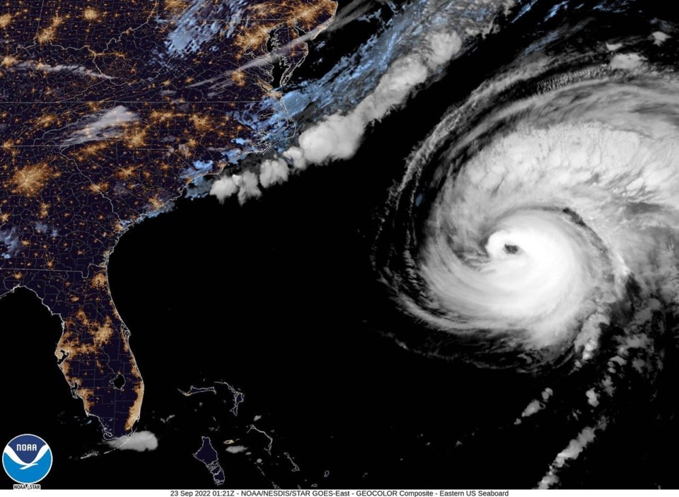
Last September, hurricane Fiona blew through much of Atlantic Canada claiming three lives, destroying homes and causing widespread power outages. It was the seventh costliest extreme weather event in Canada's history and the most costly in Atlantic Canada, with the Insurance Bureau of Canada estimating more than $800 million in insured damages.
This report by The Canadian Press was first published Aug. 11, 2023
— With files from The Associated Press
Keith Doucette, The Canadian Press


