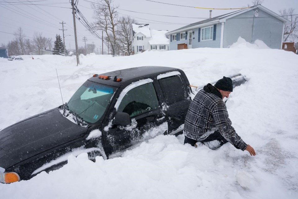
HALIFAX — Winter storm warnings remain in effect for parts of Nova Scotia and much of Newfoundland and Labrador as a large snowstorm continues to trudge across Atlantic Canada.
The storm moved into Nova Scotia on Tuesday night and dumped enough snow across the province to force the closure of many schools and delay the opening of some government offices. Delays and cancellations were also reported at the Halifax airport.
The weather system arrived less than two weeks after a previous nor'easter dumped up to 150 centimetres of snow on parts of Cape Breton, prompting a weeklong local state of emergency and a massive cleanup effort.
According to preliminary data from Environment Canada, as of 8 a.m. Wednesday 37 cm of snow fell over Shelburne along the province's southwestern coast, 35 cm was reported from the Eskasoni First Nation in central Cape Breton, and 32 cm fell on Liverpool in the southwest.
In the Halifax area, 29 cm fell at the airport, and between 20 cm and 35 cm was recorded in and around the port city as the storm pulled away in the morning.
Volunteer observers in the Halifax area reported there was already between 30 cm and 50 cm of accumulated snow on the ground, making for large snowbanks throughout the region.
Halifax residents were asked to stay off the roads Tuesday night and municipal transit buses were pulled from service around 8 p.m. as police reported a spike in fender-benders and stranded vehicles on the highways outside the city.
In eastern and northeastern Newfoundland, up to 60 cm of snow was expected in communities from St. John's in the east to the Bay of Exploits in the west, and the winds along the coast were expected to gust at 100 kilometres per hour until Thursday night.
Across eastern Newfoundland, from the Connaigre Peninsula to the southern Avalon Peninsula, between 15 and 45 cm of snow was in the forecast with winds gusting at 80 to 100 km/h along the coast.Â
On Newfoundland's south coast near the town of Fortune, a small fishing boat ran aground Wednesday morning in rough seas as the storm closed in.Â
Fortune resident Barry Spencer said the boat was getting a beating as the tide went out in the morning.
"She's in pretty close to the beach, high-and-dry and the tide's going down, and the wind is hitting her pretty hard — she's rolling back and forth," Spencer said in an interview from his home, adding that a Canadian Coast Guard vessel had arrived on the scene.
"There's snow and driving snow and it's blowing a storm. But she's not going to sink right there because she's already on the bottom."
Deanne Hickman, the mayor of Fortune, said she was in St. John's when she received reports about the mishap near the Ocean Choice International processing plant.
"A couple of local fishermen tried to tow the boat out, but they've been unsuccessful," she said. "It's pretty scary, and we've got this snowstorm happening as well. From what I can gather, it was the wind that made them go aground."
Meanwhile, a prolonged period of heavy snowfall was expected in northern Labrador — from Postville to Makkovik — where up to 100 cm of snow was expected inland and over higher terrain until Saturday night or Sunday morning.
This report by The Canadian Press was first published Feb. 14, 2024.
Michael MacDonald, The Canadian Press


