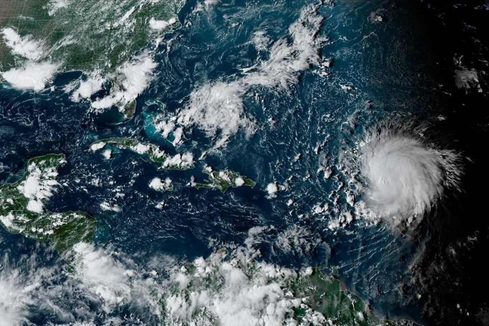
HALIFAX — Atlantic Canadians will learn more about the track of hurricane Lee later this week, after it becomes clear where the powerful storm will begin its journey northwards.
Environment Canada meteorologist Bob Robichaud says the hurricane will be felt in Atlantic Canada by next weekend, but the question remains how close it will come to shore.
He says the point where Lee, currently in the northeastern Caribbean, twists to the north could affect whether it results in higher waves along the East Coast, or severe rain and wind that comes onshore.
Robichaud says that turn is expected by Tuesday or Wednesday.
He says the other key factor will be how far east a high pressure zone over the Great Lakes will move, as this system might help push the hurricane further off the Canadian coast.Â
Robichaud says another issue will be water temperatures in the storm's pathway, which could allow Lee to gather momentum or blunt the storm's impact, if temperatures are low.
This report by The Canadian Press was first published Sept. 9, 2023.
The Canadian Press


