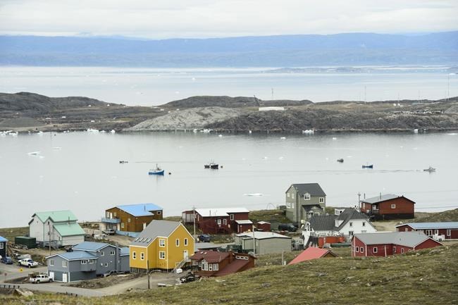
IQALUIT, Nunavut — One of the final steps in a 15-year-long process to formally guide how, where and when land and water can be used in Nunavut is underway, with the last in a series of public hearings beginning in Iqaluit earlier this week.Â
"It's a pretty exciting time," said Sharon Ehaloak, executive director of the Nunavut Planning Commission.Â
Nunavut's ambitious land-use plan covers 2.1 million square kilometres and represents a fifth of Canada's land mass, as well as fresh water and marine areas. In development since 2007, it has gone through four different drafts, with the planning commission holding hundreds of meetings, technical workshops, hearings and interviews. It also included visits to each of Nunavut's 25 communities at least twice, as well as northern Manitoba.
Ehaloak said one of the biggest challenges has been balancing diverse and sometimes competing interests. Governments, residents, hunters, trappers, industry representatives and environmental organizations have all weighed in.
"You could ask every party the same question: 'what's important to you?'" Ehaloak said. "We would get different answers from everyone."
That has included protecting critical wildlife habitat for caribou, migratory birds, walrus, polar bears and whales, supporting economic development opportunities, safeguarding drinking water and maintaining and promoting Inuit culture and traditions.
The plan establishes three land-use designations across Nunavut. Mixed use areas, representing 65 per cent of all land and marine areas, allow for a variety of uses with no prohibitions or conformity requirements. Limited use areas, which account for 22 per cent of the plan, have year-round prohibitions on certain types of uses. Conditional use areas, representing nine per cent of land and water, have requirements such as seasonal prohibitions and setbacks around important features.
The plan is a legal requirement under the Nunavut Agreement, which established Nunavut as a territory in 1999. Ehaloak said it's also an important step toward Inuit self-determination.Â
"Many Indigenous populations are watching this. This plan is important because it's part of national reconciliation," she said.Â
Ehaloak said not having a land-use plan in Nunavut has created extra levels of bureaucracy and made resource development, conservation, water security and food sovereignty more challenging.
"The lack of certainty makes all planning decisions more difficult for everyone," she said. "It also impacts the communities who have been saying for many, many years how they want the lands, water and air managed around their communities."Â
After hearings end, participants have until Jan. 10 to submit additional written submissions. The planning commission aims to submit a final land use plan in the spring to the federal and Nunavut governments and Nunavut Tunngavik Inc., which represents Inuit in Nunavut, for approval.
Once approved, the plan will be a living document that is subject to review.Â
This report by The Canadian Press was first published Nov. 17, 2022.
— By Emily Blake in YellowknifeÂ
This story was produced with the financial assistance of the Meta and Canadian Press News Fellowship.
The Canadian Press


