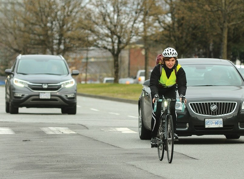
It might feel like the easiest neighbourhood to get around by bike, or on foot, but it likely isn’t the safest.
That’s according to new research from the University of British Columbia, which claims Vancouver's most bikeable and walkable districts present the most danger to cyclists and pedestrians – who could collide with cars.
“Among the public, there is an implicit assumption that ‘walkable’ and ’bikeable’ means safe for walking and biking, but these indices do not actually include objective measures of safety,” said lead researcher Tarek Sayed, UBC civil engineering professor.
UBC researchers analyzed five years of ICBC crash data in order to identify places at highest risk for non-car commuters in Vancouver.
In the study published Thursday, areas identified at the highest risk for pedestrians include Fairview, Mount Pleasant, Strathcona, and Grandview-Woodland.
For cyclists – Vancouver’s downtown core, as well as Strathcona and Mount Pleasant neighbourhoods, present the highest risk of colliding with a motor vehicle.
Though Sayed and his colleagues at UBC have devised a solution.
After studying the "complexity of routes, density of traffic signals, kilometres travelled by vehicles, bike network coverage, and average link length," the team created Bike Safety Index.
“The very low correlation between bike safety and bike attractiveness in our research indicates the need for this composite index,” added Sayed.
“If you compare the maps using the Bike Safety Index ratings compared to bike attractiveness ratings, they look very different.”
Â鶹´«Ã½Ó³»neighbourhoods that rate the best in this database include Point Grey, Stanley Park, False Creek, the River District, Kerrisdale, and along the Fraser River in Marpole.
Sayed said he hopes to see the index used for other cities around the world.


