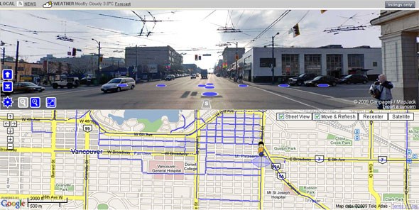
Remember the thing that I posted last week? Well, after you figure out the most vegetated (or easiest, or least polluted etc) route that you want to take to your destination, you can now go to and get street views of most of the major intersections/addresses in the city! Like Google's thing, but apparently a little better because it's got high res, fullscreen options etc etc. See the little looking guy standing on the map in the image below? You place him anywhere on the map and face him in whatever direction you want the image to show and VOILA! Instant Â鶹´«Ã½Ó³»awesome (and Squamish and Whistler for now, until they do this for all the other cities, we're one of the first).


