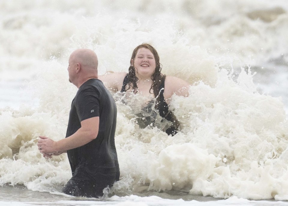
TAMPICO, Mexico (AP) — Tropical Storm Alberto formed Wednesday in the southwestern Gulf of Mexico, the first named storm of what is forecast to be a Authorities in Mexico reported three deaths from its rains.
Alberto, which is bringing strong winds, heavy rainfall and some flooding along the coasts of Texas and Mexico, is expected to make landfall in northern Mexico early Thursday.
“The heavy rainfall and the water, as usual, is the biggest story in tropical storms,” said Michael Brennan, director of the National Oceanic and Atmospheric Administration’s National Hurricane Center.
Civil protection authorities in the northern state of Nuevo Leon said one man died in the La Silla river in the city of Monterrey, the state capital. They also said that two minors died from electric shocks in the municipality of Allende. Local media reported that the minors were riding a bicycle in the rain.
Nuevo Leon Gov. Samuel GarcĂa wrote on his account on social media platform X that metro and public transportation services would be suspended in Monterrey from Wednesday night until midday Thursday when Alberto had passed.
The National Hurricane Center said late Wednesday that Alberto was located about 135 miles (220 kilometers) east of Tampico, Mexico, and about 320 miles (510 kilometers) south-southeast of Brownsville, Texas, with maximum sustained winds of 50 mph (85 kph). The storm was moving west at 9 miles per hour.
The center of the storm was expected to reach the northeastern coast of Mexico south of the mouth of the Rio Grande by Thursday morning.
As much as 5 inches (13 centimeters) to 10 inches (25 centimeters) of rain was expected in some areas along the Texas coast, with even higher isolated totals possible, Brennan said. He said some higher locations in Mexico could see as much as 20 inches (50 centimeters) of rain, which could result in mudslides and flash flooding, especially in the states of Tamaulipas, Coahuila and Nuevo Leon.
The municipal government of Tampico, a port city in Tamaulipas state, announced Wednesday afternoon that authorities had activated a command center in coordination with the water, electricity and oil companies.
Many residents were excited about the prospect of heavy showers, as Tamaulipas and most of Mexico has been dealing with extreme droughts.
“We have been needing this water that we’re now getting, thank God. Let’s hope that we only get water,” said Blanca Coronel Moral, a resident of Tampico. “Our lagoon, which gives us drinking water, is completely dry.”
Tamaulipas Gov. Américo Villarreal said Wednesday on X that schools across the state will remain closed between Wednesday and Friday.
The coordinator of civil protection in Tamaulipas, Luis Gerardo Gonzalez, said they have 333 shelters distributed throughout the state at each municipality. “As the storm moves, we will be opening up more shelters.”
Authorities urged residents to be aware of the alerts the state and municipal civil protections are sharing. They anticipate the storm arriving overnight with communities closest to the coast most affected.
Tropical storm warnings were in effect from the Texas coast at San Luis Pass southward to the mouth of the Rio Grande and from the northeastern coast of Mexico south of the mouth of the Rio Grande to Tecolutla.
“Rapid weakening is expected once the center moves inland, and Alberto is likely to dissipate over Mexico” on Thursday, the center said.
The U.S. National Weather Service said the main hazard for southern coastal Texas is flooding from excess rain. On Wednesday, the NWS said, there is “a high probability” of flash flooding in southern coastal Texas. Tornadoes or waterspouts are possible.
NOAA predicts the hurricane season that began June 1 and runs through Nov. 30 is likely to be well above average, with between 17 and 25 named storms. The forecast calls for as many as 13 hurricanes and four major hurricanes.
An average Atlantic hurricane season produces 14 named storms, seven of them hurricanes and three major hurricanes.
Brennan said there will be dangerous rip currents from the storm and drivers should watch out for road closures and turn around if they see water covering roadways.
Areas along the Texas coast were seeing some road flooding and dangerous rip currents Wednesday, and waterspouts have been spotted offshore. “We’ve seen a few brief spin-ups and some waterspouts out there,” said Tyler Castillo, a meteorologist with the National Weather Service office in Corpus Christi.
Tim Cady, a meteorologist with the National Weather Service in Houston, said they’ll be keeping an eye on coastal flooding as high tide approaches Thursday morning.
“When we have these strong onshore winds combined with the high tide, that can result in coastal inundation, particularly in our lower-lying coastal areas,” Cady said.
___ AP journalists Jamie Stengle in Dallas and Julie Walker in New York contributed to this report.
Alfredo Peña And Mariana MartĂnez Barba, The Associated Press


