VANCOUVER — A hydrologist with the River Forecast Centre says he's "quite worried" about the risk of flooding in British Columbia because of the high snowpack and the potential for sudden warm weather.
The province's latest snow survey shows the snowpack -- the seasonal accumulation of slow-melting packed snow -- is 13 per cent above normal, creating an increased risk for spring flooding.
Jonathan Boyd says he believes the snowpack is likely even higher as cold temperatures have persisted over the past 10 days.
The Snow Survey Bulletin on May 1 says a colder-than-normal April and start of May has delayed the snowmelt in the province.
However, the bulletin says snow level is only one factor related to spring flooding, and the risk of floods is possible even with normal or below-normal snowpacks.
The centre says the risk will also depend on the temperature and rate of snowmelt and the amount of rainfall that could happen at the same time.
It says the risk for major flooding would involve a period of persistent cool temperatures and wet weather in late spring, followed by a sudden heat wave lasting at least five days.Â
"It needs at least four days and it's all relative to how hot it is," Boyd says. "If Environment Canada is ever saying there's a big heat on the way, that's when we have to be fearful."
He says the worst floods that B.C. has had in the last 130 years have been related to cold temperatures in April and early May, followed by extreme heat and relatively hot weather.
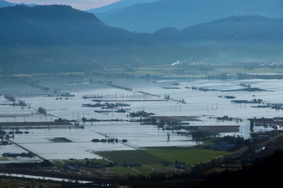
He says the November floods made many of the province's rivers vulnerable to freshet high flows.
"Unfortunately there just isn't a solid way of knowing where the vulnerabilities are until they show."
The forecast centre says it will continue to monitor snowpack conditions and will provide an updated seasonal flood risk forecast in the May 15 bulletin, which is slated for release on May 20.
This report by The Canadian Press was first published May 10, 2022.
The Canadian Press


